Yunnan Dali: CWQI Drives Precise Management of Erhai Lake Basin, Establishing a Mechanism for Implementing Grid-based Water Quality Management Responsibilities
In the "Technical Regulations for Urban Surface Water Environmental Quality Ranking" issued by the Ministry of Ecology and Environment of China, the method for urban surface water environmental quality ranking is based on the City Water Quality Index (CWQI). This index is used for the national ranking of surface water environmental quality in cities at the prefectural level and above across various provinces (regions, municipalities).
In the Erhai Lake basin of Dali, Yunnan, the CWQI is applied to rank the water environmental quality of towns (streets). By adapting and applying the standards used for the ranking of surface water environmental quality in cities at the prefectural level and above to towns (streets), the Erhai Lake basin has become a pioneer in the plateau lake basins of Yunnan. This approach effectively bridges the "last mile" in precise governance aimed at improving environmental quality.
By utilizing the CWQI in this innovative way, the Erhai Lake basin is leading in the precise management of its water environment. This strategy enables a more targeted and effective approach to improving water quality, ensuring the responsibility for water quality management is implemented effectively at the grassroots level. This model serves as a successful example for other regions seeking to enhance their environmental governance strategies.

Implementation and Utilization of CWQI, Bridging the Last Mile of Precise Management
Erhai Lake, as Yunnan Province's second-largest plateau lake, covers a basin area of 2,565 square kilometers and belongs to the Lancang-Mekong River system. It has 27 major inflowing rivers and two outlets. The basin encompasses 18 towns (streets) under the jurisdiction of Dali City and Eryuan County, with a permanent population of about 970,000 people. Erhai Lake serves as the drinking water source for Dali City and has multiple functions such as landscape tourism, agricultural irrigation, urban water supply, and climate regulation, making it fundamental to the sustainable socio-economic development of the entire basin.
Previously, there was a lack of a grid-based water quality management responsibility system in the protection and management of Erhai Lake. In March 2022, Zhai Qing, Vice Minister of the Ministry of Ecology and Environment, visited Dali to review and research the precise governance of Erhai Lake. He specifically emphasized the need to "strengthen and improve monitoring, form grid-based monitoring data, and precisely analyze water quality changes." The initiation of grid-based water quality management for Erhai Lake was therefore urgent.
Since May 2022, the Erhai Lake Protection and Basin Transformation Development Command of Dali Prefecture (referred to as the "Prefecture Command") has implemented grid-based water quality management for 61 inflowing rivers and channels of the Erhai Lake basin. Based on the water quality sampling data from these rivers and channels, the Digital Erhai Supervision Service Platform is used for big data analysis of water quality changes in the lake area, rivers, and channels. The comprehensive water environmental quality of each grid is quantified using the City Water Quality Index (CWQI), aligned with the "Technical Regulations for Urban Surface Water Environmental Quality Ranking" issued by the Ministry of Ecology and Environment. This ranking of water environmental quality across towns and villages helps to drive the implementation of onshore work in response to water quality.
Water Quality Drives Onshore Work, Exploring the Management of Small Watersheds in Erhai Lake Basin
The Erhai Lake basin is divided into 12 grids, each based on 11 towns and the junction sections of 4 counties and cities. Weekly reports are issued on the water environmental quality changes of rivers and channels associated with each grid, and a monthly ranking and notification of the comprehensive water environmental quality of each town's grid is conducted. Since the implementation of the comprehensive water environmental quality ranking within the grids, Wase Town has consistently ranked at the bottom in terms of the CWQI index.
What are the reasons for Wase Town's consistently low ranking, and what can be done? A specialized research team, formed by the Prefecture Command in collaboration with the Ruisi Computational Intelligence Laboratory, conducted an in-depth analysis. They employed field research, data collection, discussion sessions, and sampling monitoring to analyze potential factors affecting water quality in Wase Town. Scenario simulations and pre-assessments were carried out for potential water quality improvement measures. Suggestions for small watershed management were proposed, serving as a reference for all towns (streets) in the Erhai Lake basin in advancing agricultural non-point source pollution prevention, river and channel maintenance, and water quality improvement. These findings also provide new insights and directions for precise lake protection and management.


In the context of grid-based water quality management responsibility in the Erhai Lake basin, Dali Prefecture uses the CWQI urban water quality index to treat the Erhai Lake basin as a large watershed and its inflowing rivers and channel catchment areas as small watersheds for research and management. This approach actively explores pathways for small watershed management, aiming to significantly reduce the pollution load entering the lake and continually improve the water quality of inflowing rivers and channels.
Intelligent Monitoring and Analysis, Digitally Empowering Precise Governance for the Protection of Erhai Lake
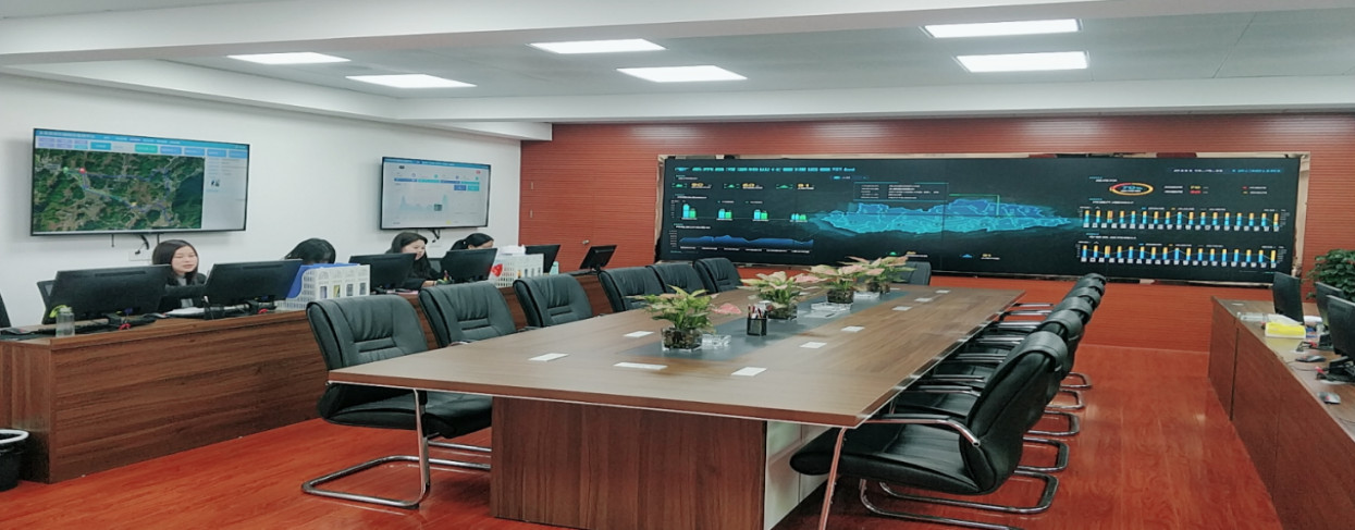
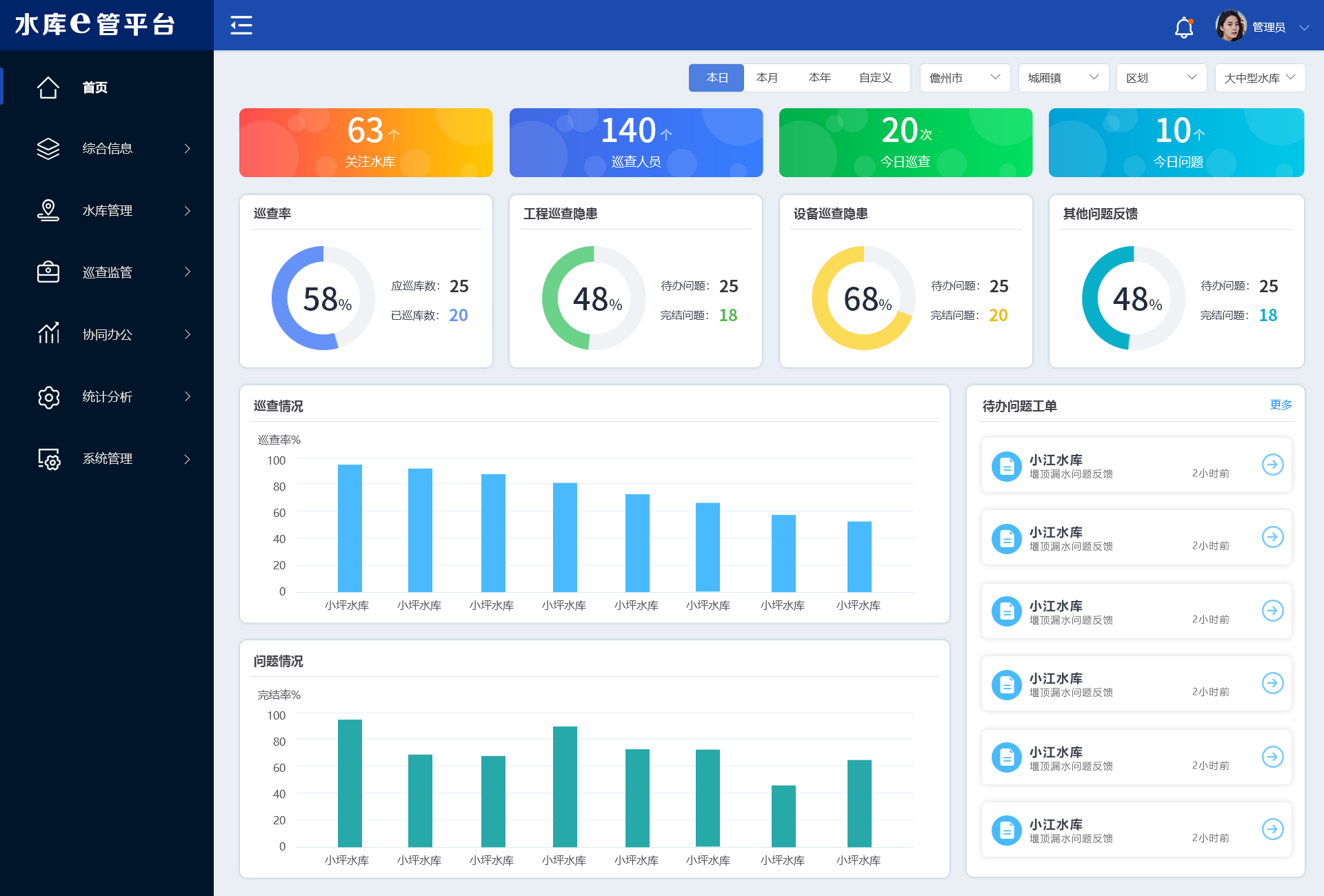
In the precise governance of Erhai Lake protection, Dali Prefecture consistently adheres to scientific lake management, utilizing the Digital Erhai Supervision Service Platform for digital empowerment.
Following the calculation method for flood season pollution intensity outlined in the "Notice on Carrying Out Flood Season Pollution Intensity Analysis to Address Prominent Water Environmental Issues" issued by the Ministry of Ecology and Environment, Dali Prefecture calculates the pollution intensity and main pollutant concentrations of inflowing rivers during the flood season using real-time online monitoring data from automatic monitoring stations. The prefecture conducts timely calculations of flood season pollution intensity for major inflowing rivers of Erhai Lake based on meteorological rainfall data. This approach urges local areas to strictly adhere to the initial rain control requirements, reducing pollution intensity during the flood season.
Additionally, using "Digital Radar" (an intelligent monitoring technology for automatic monitoring data), the platform performs comprehensive scans of massive amounts of automatic monitoring data in the Erhai Lake basin. It automatically identifies potential anomalies in the data, uncovers hidden trends in water quality changes, and compiles these into early warning information closely linked to daily management tasks for the reference of management departments. Daily water quality early warnings are generated at the warning center, and early warning events are assigned and handled through the collaborative management platform.

In the next phase, the Erhai Lake Protection and Basin Transformation Development Command of Dali Prefecture will actively supervise and guide responsible units to meticulously implement the grid-based responsibility system. The prefecture will develop and perfect the assessment methods and reward and punishment mechanisms for the grid-based water quality responsibility system for each town (street). It aims to comprehensively and objectively evaluate the effectiveness of Erhai Lake protection and governance efforts by Dali City, Eryuan County, the Economic Development Zone, and each town (street). The goal is to truly achieve accountability through "water quality," using water quality targets to consolidate responsibility and drive implementation of tasks.



 Home
Home
 WeChat
 400-620-1615


 Headquarters Address:ISTRONG Technology Building, Xingwang Science and Technology Park, No. 9 Gaoxin Avenue, High-tech Zone, Fuzhou
 Phone Number: +86 591-22850288
  Fax: +86 591-22850299
 E-Mail:strong@istrong.cn
 闽公网安备 35012102500164号