Taizhou City's Digital Emergency Command System Phase I
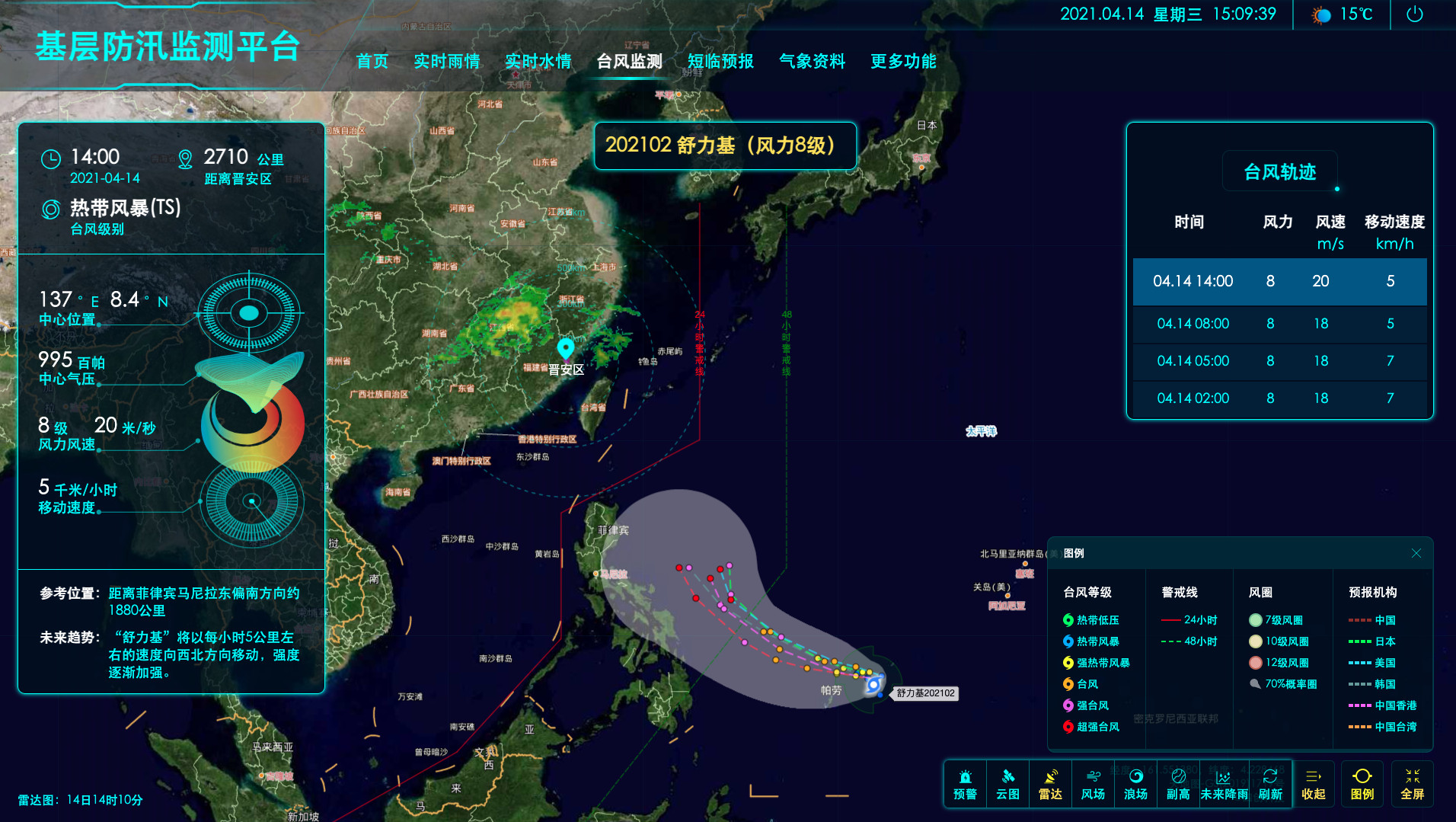
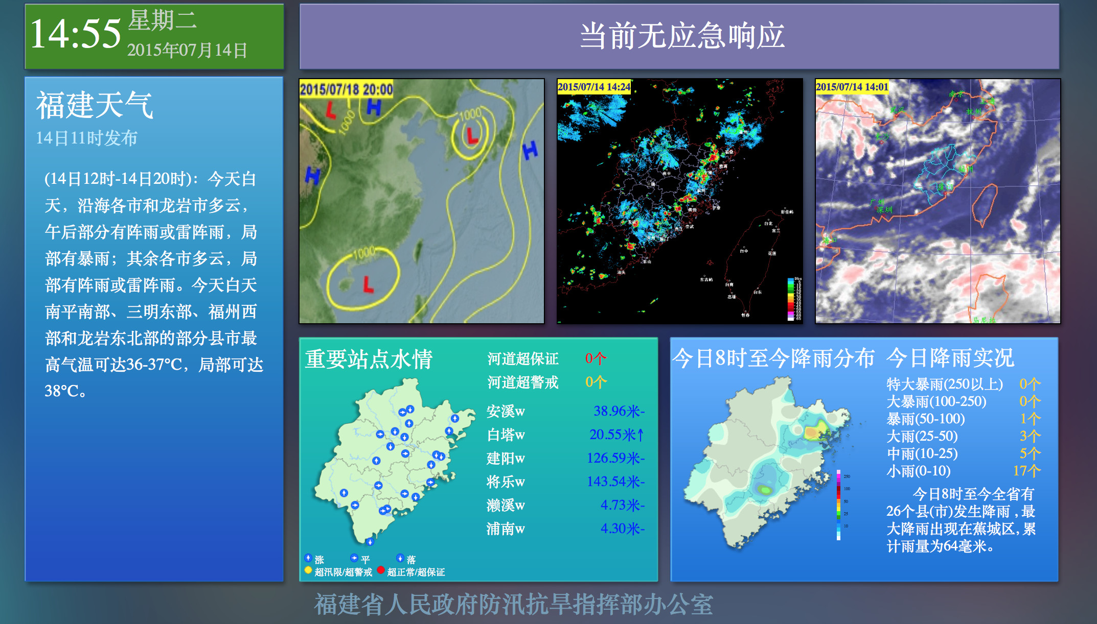
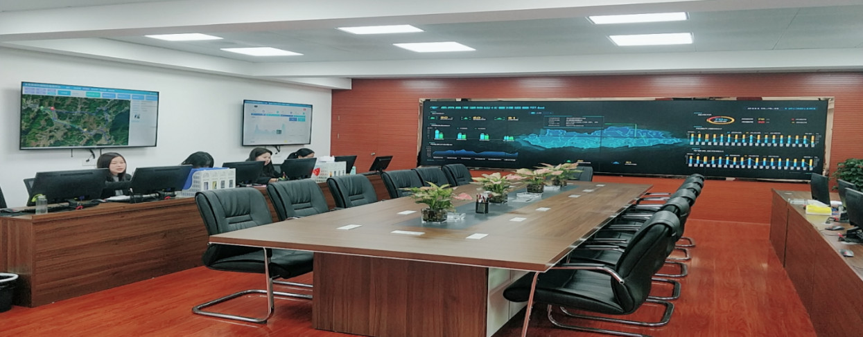
Firstly, the system integrates all resources and risks into one map. The system relies on the "One Cloud" e-government platform and collects over 37.5 million data points from 15 departments including emergency management, meteorology, water conservancy, and fisheries. It covers 110 categories and 18,356 data indicators, such as evacuation sites, water conservancy projects, geological hazards, and urban dilapidated buildings. The system also connects to over 1,400 monitoring videos including high-altitude observations and flood monitoring. Users can display and switch between data elements on the high-definition GIS map based on their needs and permissions. Additionally, the system builds numerical models for wind, rainfall, and wave heights, analyzes and verifies 124 real disaster cases during typhoon defense, and develops a disaster index calculation model to assess the probability of disaster for defense objects. The system also issues timely warnings, instructions, and evacuation orders for emergencies. Furthermore, the system combines monitoring and measurement data with risk identification and a five-color map algorithm to clearly identify defense priorities for each township.

Secondly, the system analyzes plan structures and assigns tasks with one click. The system uses the flood control emergency plan, flood control command procedures, and response operation manuals as the basic conditions to compile and organize more than 4,300 flood and typhoon prevention plans at the city, county, town, and village levels. The system then analyzes and structures the plan contents and establishes an emergency plan library. When the external impact reaches the response activation conditions, the system automatically determines and generates the emergency response level. After activating the response, the system matches the emergency plans and generates work orders. The command center confirms and assigns tasks to 43 members of the flood control committee through AI-powered phone calls, messages, and DingTalk notifications. Each member unit then carries out their defense tasks according to the system's instructions. The system continuously monitors the progress of each unit and provides real-time reminders.

Thirdly, the system enables precise evacuation management and scientific sheltering. The system fully utilizes the Zhejiang Security Code and other provincial-level research results to develop the "Taizhou Emergency" mobile application. The system matches the personnel's number information with the "Health Code" in Alipay. For people without a mobile phone, they are issued a safety code card to ensure full coverage of personnel information. When the disaster index of an area reaches the evacuation standard, all personnel in that area will display a red safety code. The system sends warning messages and AI phone calls to all personnel with a red safety code and broadcasts the warning message through emergency broadcasting and unmanned aerial vehicle systems to cover the entire area. After people with a red safety code relocate to a shelter or move in with relatives and friends, their safety code changes to green. The system then monitors the evacuation status of the personnel in real-time and advises people who enter dangerous areas to leave immediately.

Finally, the system enables online rescue dispatch and command operation. For emergency events related to floods and typhoons, the system relies on the city's emergency command center for remote command and dispatch. The system can dispatch 736 professional rescue teams with 31,500 members and 31 social rescue teams with 3,548 members at all levels of the city. The system can facilitate online coordination meetings within 5 minutes, generate preliminary rescue plans within 15 minutes, and connect to on-site rescue videos within 30 minutes. The system is also equipped with 10 satellite portable stations and 300 units of 370M digital cluster intercoms to deal with power outages, communication disruptions, and other extreme weather conditions.

In the future, ISTRONG will dedicate itself to the construction of emergency systems, improving the timeliness, accuracy, and scientificity of disaster prevention monitoring, early warning, and decision-making, effectively enhancing the emergency response capabilities in the event of disasters, and providing guarantees for the comprehensive, coordinated, and sustainable development of the economy and society. ISTRONG will continue to work tirelessly to promote the informatization and modernization of the emergency system.



 Home
Home
 WeChat
 400-620-1615


 Headquarters Address:ISTRONG Technology Building, Xingwang Science and Technology Park, No. 9 Gaoxin Avenue, High-tech Zone, Fuzhou
 Phone Number: +86 591-22850288
  Fax: +86 591-22850299
 E-Mail:strong@istrong.cn
 闽公网安备 35012102500164号